Hiking in Innsbruck: the best walks and free guided hikes
The best hike from Innsbruck for most visitors is the Zirbenweg: 7 km and about 2.5 hours along the Patscherkofel and Glungezer at around 2,000 m, with a lift at each end (€39.50 ticket in summer 2026). For a short walk with a big view, take the Nordkette cable cars to the Hafelekar and walk 10 to 15 minutes to the summit at 2,334 m. If you stay two nights or more with a partner hotel, the free Welcome Card includes guided hikes with qualified mountain guides from late May to the end of October. Summer 2027 prices are not published yet; the figures here are summer 2026.
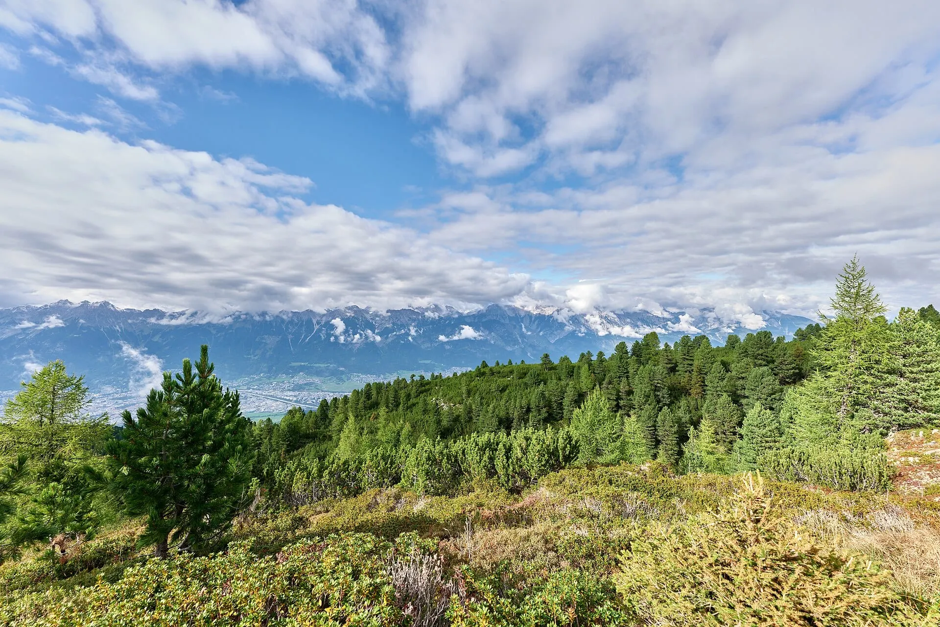
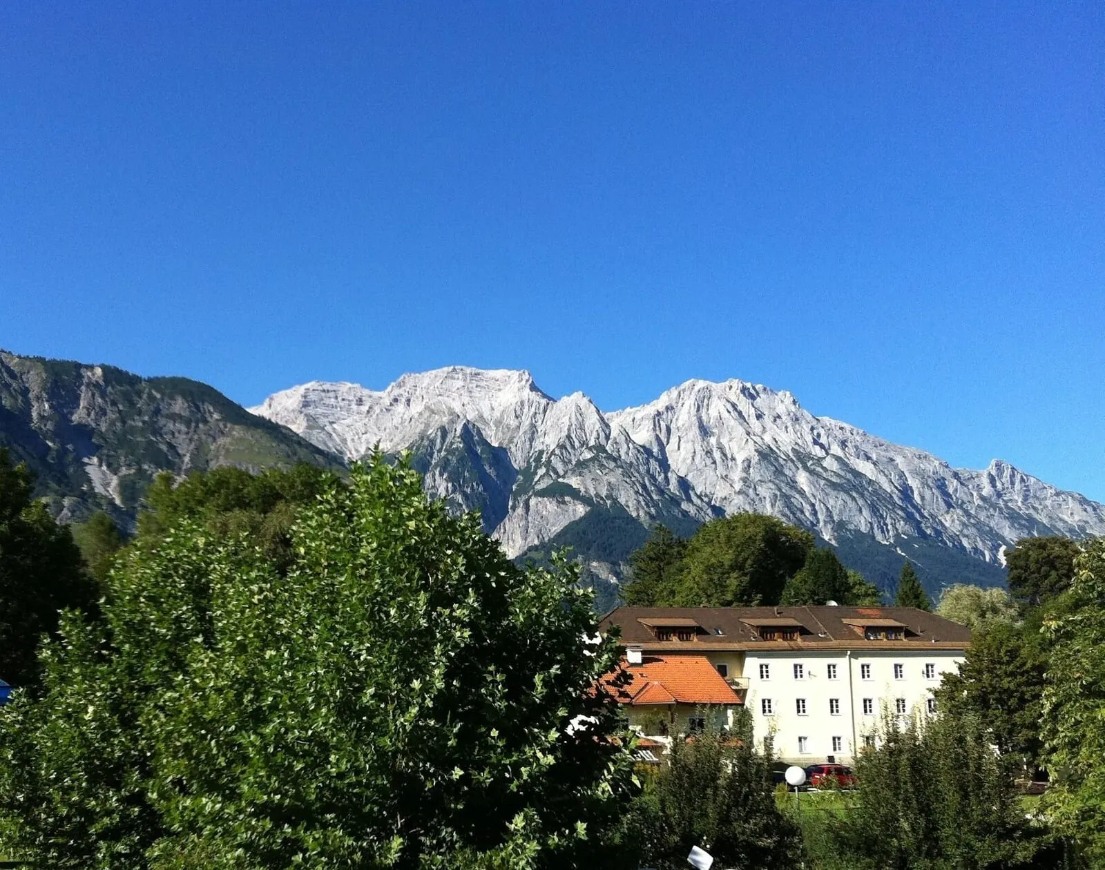
The Zirbenweg trail through stone pines on the Patscherkofel, above the Inn valley. Photo: Leonhard Lenz, CC0
The Nordkette: hikes from the cable car stations
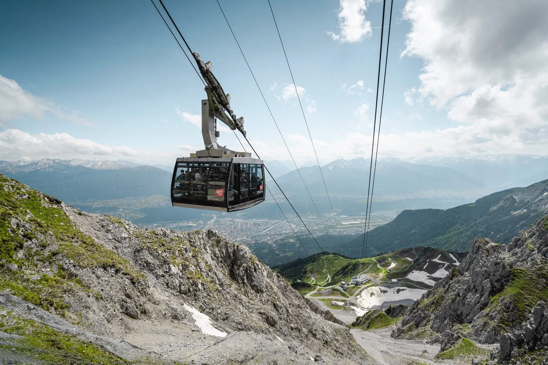
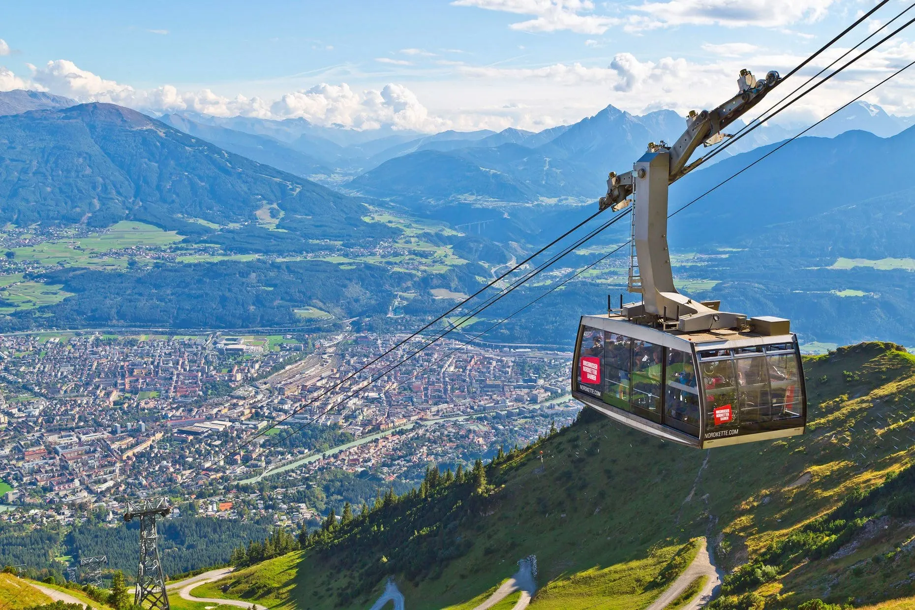
The Nordkette cable cars turn a city break into a mountain day. From the Hafelekar top station (2,256 m) a wide path climbs to the Hafelekarspitze (2,334 m) in 10 to 15 minutes, with Geotrail boards on the way and the Karwendel spread out to the north. From Seegrube (1,905 m) the Perspektivenweg, a trail designed by the architects Snøhetta, looks out over the city, and the Goethe Trail runs east from the Hafelekar along the ridge.
Lower down, paths from Hungerburg (860 m) reach the nearest huts and alpine pastures in 45 minutes to 1.5 hours, and fit walkers can climb all the way from Hungerburg to Seegrube: about 3 to 3.5 km with roughly 1,000 m of ascent, then ride back down.
In summer 2026 the cable cars ran from 25 April to 1 November. A return from the city to the Hafelekar cost €56 for adults and €33.60 for children; Innsbruck to Seegrube €50.40. The Hafelekarbahn ran from 09:00 to 16:45.
The one mountain trip almost every visitor should make: from the old town to 2,256 m in about 20 minutes, with the whole of Innsbruck below you and the Karwendel behind.
Departs from Hungerburgbahn station, next to Congress Innsbruck, Rennweg 3 · Valid for one day; the ride up takes about 20 minutes, allow half a day
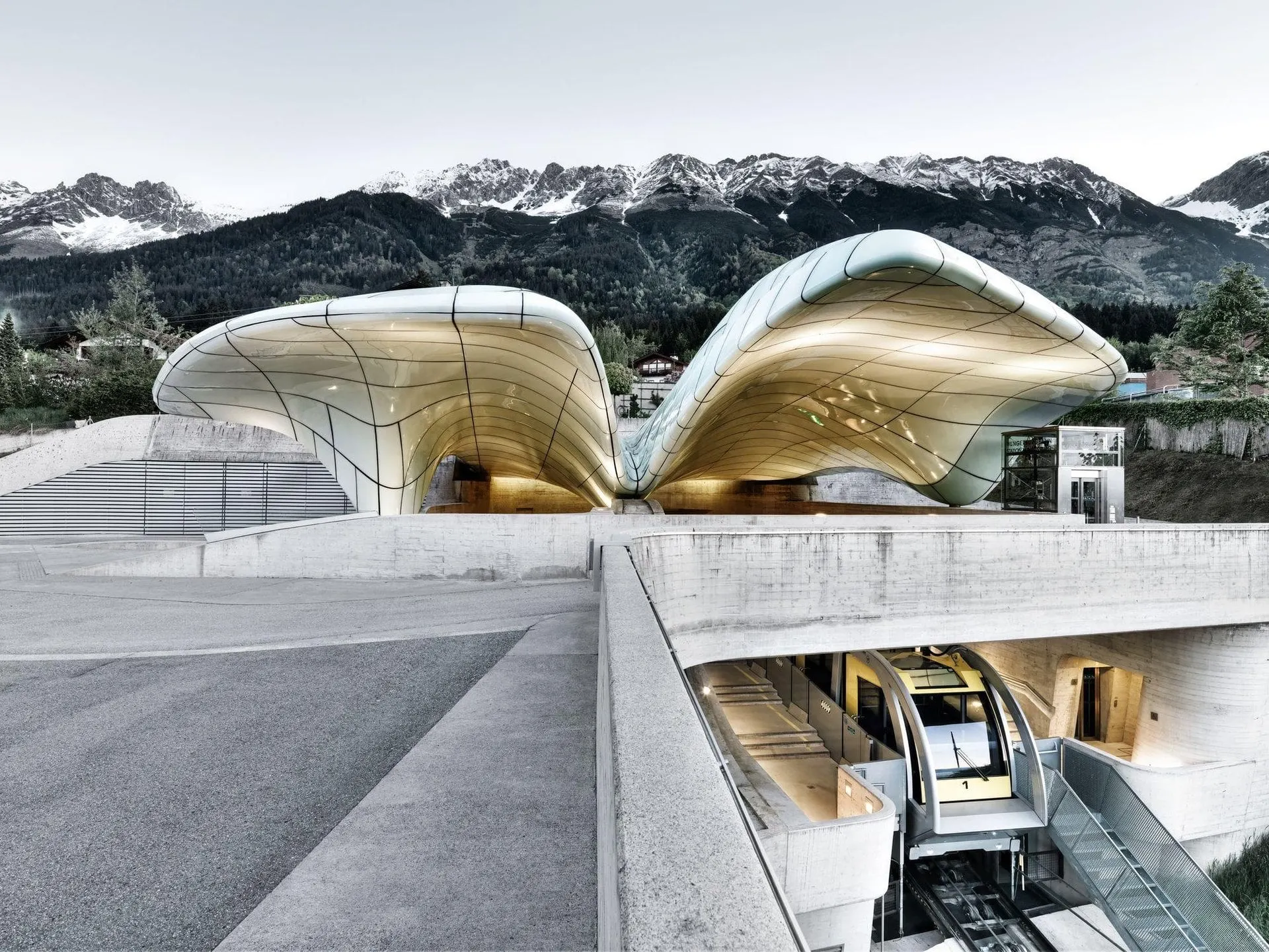
The quick, cheap way up above Innsbruck: 8 minutes from the old town to the Hungerburg at 860 m, through stations designed by Zaha Hadid, with the city spread out below.
Departs from Congress station, Rennweg 3, Innsbruck · Valid for one day; the ride takes about 8 minutes each way
The Zirbenweg (Arolla Pine Trail) is the classic high-level walk above Innsbruck, through what the Patscherkofelbahn calls the largest stand of arolla pine in the Alps. The classic route runs 7 km from the Patscherkofel top station to the top of the Glungezerbahn in about 2.5 hours, with 200 m of ascent and 100 m of descent, so it suits anyone with steady walking legs. You ride down by the Glungezerbahn and take VVT bus 530 or 540 back. It can also be walked the other way.
For something shorter, the gentle route is a 4.7 km out-and-back to Boscheben, about 1.5 hours. In summer 2026 the Zirbenweg ticket cost €39.50 for adults, or €43 with the bus. The Patscherkofelbahn ran daily from 09:00 to 17:00 from 14 May to 1 November 2026, and the Glungezerbahn from 4 June.
One of the best-value things in Innsbruck is free. Guests who stay at least two nights with a partner hotel receive the Welcome Card, and with it a place on the region's guided hiking programme, led by qualified mountain guides. Hikes last about three to four hours, need good basic fitness and go ahead in all weathers. In 2026 the programme ran from late May to the end of October.
Routes and weekday patterns change from year to year and were not published for 2027 at the time of writing; your hotel reception or the Innsbruck information office has the weekly schedule. Bring proper walking shoes, a rain layer and water.
Family walks: Muttereralm, Glungezer and the Serles
The Muttereralm above Mutters is the easy family mountain: the cable car ran daily from 09:00 to 17:00 from 22 May to 31 October 2026 (adult return €28), and at the top there is a small panorama lake with rest spots. Children love the mountain carts on a fenced 5 km course down to the valley (€16 a ride).
On the Glungezer, the Kugelwald family area, the Zirbensee and a disc golf course are reached from the Tulfein station at 2,055 m. In the Stubai valley the Serlesbahnen in Mieders have a water play area, viewing platforms and a road train to the Maria Waldrast monastery.
Experienced walkers can join stages of the long-distance Adlerweg and the Karwendel High Trail directly from the Nordkette, heading into the Karwendel Nature Park behind the range. These are full mountain days; plan them with a map and the hut opening times.
For something between walking and climbing, the Innsbrucker Klettersteig starts at the Hafelekar: see our adventure page for the via ferrata, the gear hire and the times.
Start early. Summer rain in Innsbruck mostly comes as afternoon showers and thunderstorms; August is the wettest month by total. Check the last descent: in summer 2026 the Seegrubenbahn ran until 17:30, extended to 18:30 from June to September, and the Hafelekarbahn until 16:45. High routes such as the via ferrata open only once the snow has gone.
Bring layers: the Hafelekar is about 1,700 m above the city and noticeably cooler. For transport, the Welcome Card covers public transport in the city and region, and the Innsbruck Card (24 hours from €69) includes one up and one down ride on both the Nordkette and the Patscherkofelbahn.
The best-value way to see Innsbruck if you plan a full day or two of sightseeing: the Nordkette cable cars, Swarovski Crystal Worlds with its shuttle, the museums and all the city buses and trams on one card.
Departs from Innsbruck Information, Burggraben 3, at the entrance to the old town
The Zirbenweg is the favourite: 7 km and about 2.5 hours with only 200 m of ascent, starting from the Patscherkofel top station. For something very short, the walk from the Hafelekar top station to the summit takes 10 to 15 minutes. Paths from Hungerburg to the nearest huts take 45 minutes to 1.5 hours.
Can you hike from Innsbruck city centre?
Yes. The Hungerburg funicular leaves from the Congress station near the old town, and walking paths start at Hungerburg (860 m). Strong walkers can climb from Hungerburg to Seegrube on foot, about 1,000 m of ascent, and take the cable car down.
Are the guided hikes in Innsbruck really free?
Yes, for guests with the Welcome Card, which partner hotels give free for stays of two nights or more. The hikes are led by qualified mountain guides and last about three to four hours. In 2026 the programme ran from late May to the end of October.
How much is the Zirbenweg ticket?
In summer 2026 the Zirbenweg ticket cost €39.50 for adults, or €43 including the bus back from the Glungezer. A Patscherkofel return on its own was €33. Summer 2027 prices are not published yet.
When does the hiking season start in Innsbruck?
The cable cars open from late April to June depending on the mountain: in 2026 the Nordkette from 25 April, the Patscherkofel from 14 May, the Muttereralm from 22 May and the Glungezer from 4 June. The season runs to the start of November.